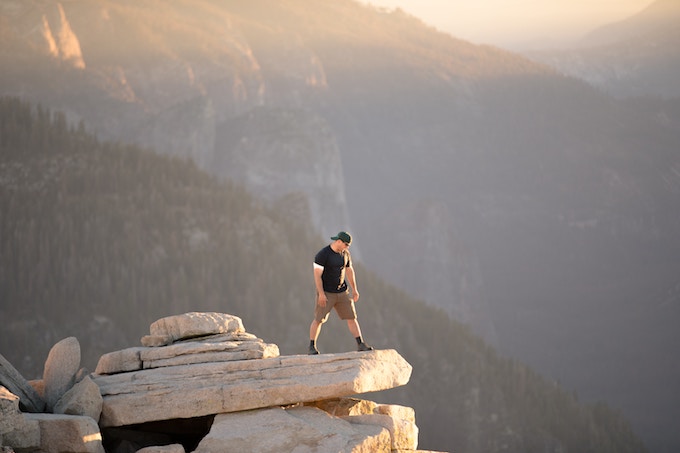
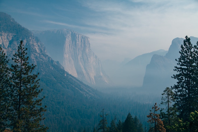
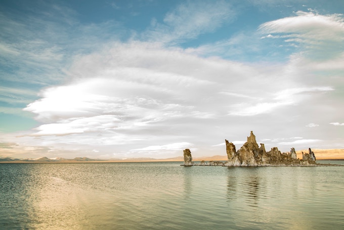
Yosemite Park is easily one of America’s (and arguably one the world’s) most famous national parks. Located in California’s Sierra Nevada Mountains, this monster of a park is famed for its ancient sequoia trees, iconic granite cliffs, and, naturally, some of the best hiking trails you’ll find in the US. It’s not unusual for travellers and adventurers to spend entire summers navigating their way through the park, taking in everything it has to offer.
Covering an area of over 3,027 square kilometres (1,169 square miles) and boasting over 1,287 kilometres (800 miles) worth of hiking trails, Yosemite Park is a goldmine for hikers. If you’re planning on visiting for a few days or a few months, here are some of the best hikes you don’t want to miss out on.
Half Dome via the Mist Trail
Yosemite Valley
- Distance: 22.85 kilometres (14.2 miles, round trip)
- Difficulty: Very Hard
- Best Time: May – October
Half Dome is one of the hardest, most beautiful, and most popular hikes in the entire park. So much so that the park now limits the number of visitors who hike this route with a permitting process. This route takes the Mist Trail, passing by two major waterfalls: Vernal Falls and Nevada Falls. After making your way along the footpaths you’ll see your final destination – the jaw-dropping piece of world famous rock known as Half Dome. It’s a steep incline to the top, with the final 120 vertical meters involving climbing up cables that have been installed directly into the rock. It’s a challenging hike, but the views from the top and the bragging rights make it well worth the struggle.

The Pohono Trail
Glacier Point Road
- Distance: 22.1 kilometres (13.73 miles, one way)
- Difficulty: Difficult
- Best Time: May – Early November
The Pohono Trail takes you on a journey that showcases some of Yosemite’s best views, from waterfalls to cliff faces. During this day hike, you’ll capture sights of Half Dome, El Cap, Bridalveil Falls, and more, making it a great option for anyone who wants to see a lot of Yosemite’s most iconic landmarks in a short amount of time. There are different starting points for this hike, each offering a different difficulty level: for a difficult hike, start at Glacier Point, and for an even harder hike, start at Tunnel View. There’s a lot of uphill action, so make sure you’re up for the challenge. But if you are, you’ll be rewarded with a birdseye view of what feels like the entire world.

Mono Pass
Tioga Road
- Distance: 12.8 kilometres (8 miles, round trip)
- Difficulty: Moderate
- Best Time: June – October
If you’re up for the challenge of a hike at high altitudes, the Mono Pass won’t disappoint. Starting at roughly 3,000 metres (9,842 feet) and climbing even higher to 3,230 metres (10,597 feet), this lung-busting trail will literally take your breath away in more ways than one. The first two kilometres are relatively easy, getting your body warmed up for your climb towards the summit. As you walk, you’ll come across the ruins of log cabins from the Tioga Pass’ 1879 gold and silver boom, mixing in a little history to your otherwise nature-filled day. As you reach the end of the trail, you’ll find yourself at Summit Lake and Sardine Lake. From here take in the views of the spectacular Mono Lake, sitting 1,200 metres (3,937 feet) below you.

Four Mile Trail
Yosemite Valley
- Distance: 15.4 kilometres (9.6 miles, round trip)
- Difficulty: Moderate
- Best Time: April – July
Climbing to get the best view of Yosemite Falls, the Four Mile Trail starts on the valley floor, makes its way up to the Glacier Point visitor center, and back down. After a few kilometres of hiking through the trees in the valley, the forest density subsides and you’ll get a head-on shot of the magnificent falls, along with Sentinel Dome, El Capitan, and Half Dome. If you find your motivation dwindling as you hike uphill, know that there’s ice cream at the visitor center, which tends to be enough motivation to help tired hikers reach the summit. Plus, there’s a comfort in knowing when you make it to the top, there’s the option to take the Glacier Point shuttle bus back down if you’re too tired.

Clouds Rest
Tioga Road
- Distance: 23.5 kilometres (14.6 miles, round trip)
- Difficulty: Difficult
- Best Time: June – October
Clouds Rest is a stunning and difficult hike, often used as an alternative to the Half Dome hike. Much less crowded, this hike boasts the same amazing views without the other large groups of hikers. For anyone who enjoys isolation, this could be the perfect route for you. Starting at the picturesque Tenaya Lake and ending with some tricky rock scrambling, you’ll finally reach the top and have the chance to rest inside the clouds. The panoramic views of the entire park are indescribable, and if you look closely, you’ll likely be able to spot hikers climbing up the cables to Half Dome. Thankfully, you’ll be able to enjoy the views and rest.

North Dome
Tioga Road
- Distance: 14 kilometres (8.7 miles, round trip)
- Difficulty: Easy
- Best Time: June – November
The North Dome hike is an excellent option for beginner hikers or anyone looking for a relatively easy day hike. While it’s a relatively long hike at a slightly higher elevation, it’s not a dangerous hike as long as you don’t wander too close to the cliff’s edge. By Yosemite standards, many consider this hike rather uneventful. But to some, it’s the most underrated. The hike does have a bit of a slow build, but the finish is big. When you finally reach North Dome, you’re greeting with the best vantage point of the valley, and an unsurpassed view of both Half Dome and Clouds Rest. It may be a bit of a slow start, but the grand finale is well worth it.
Yosemite is one of the best hiking destinations in the US (and the world), so it’s no wonder why so many travellers visit each year to hit the trails and reconnect with nature. With a bit of training and preparation, even the most difficult trails in Yosemite can be extremely rewarding.
Which of these trails would you most like to hike?


